Day 112: Sunday, July 30, 2011

17 miles to Bend, Oregon

Bob and I met Jim and Ellen, two friends bicycling near Bend.  We were taking a main road from Redmond to Bend and they invited us to take a more scenic route.  We rode over the Deschutes River and through some beautiful country.  When we reached their destination, Jim was reluctant to have us continue on the main highway, but Bob didn’t want to take the hillier route.  About 4 miles after we left Jim and Ellen, Jim caught up with us on the highway.  He kindly offered to load our bicycles up and give us a tour of the city.  He said we wouldn’t see much on the route we were traveling.  We drove through downtown Bend with tons of cute shops,  past Drake Park and then on to the Old Mill District.  The Old Mill District is built on land that once housed two of the world’s largest sawmills.  It has a vast array of shops, restaurants, galleries, museums and parks. He dropped us off at the RV campground, which he didn't even know existed.  After we showered, Bob, Vincent and I went back to the Old Mill District and had a nice seafood lunch at Anthony’s while we watched the leisure activities on the Deschutes River.

Deschutes River

Day 111: Saturday, July 29, 2011

30 miles into the ExpoCenter RV Park, Redmond, Oregon
Bob and I bicycled to Redmond.  Then I bicycled around Redmond looking for a place to get a haircut while Bob hung out at the local coffee shop.  Our RV campground is just outside the Deschutes County Fairground which is one of the finest fairgrounds I have ever seen.  We are coming back here after our trip to Crater Lake National Park and the county fair will be ongoing at the time.  This is another serendipitous event for me because I was sad about missing the Montgomery County Fair this year.  I am looking forward to seeing all the animals, fruits, vegetables and home arts.


Ochoco View.  We weren't expecting this climb just as we left Prinefville.


Day 110: Friday, July 29, 2011

37 miles into Crook County RV Park, Prineville, Oregon
Bob dropped me off at mile marker 54 and it only took me 45 minutes to get to the top.  I was surprised since I had to rest every mile I was going up.  Riding down the other side was fantastic fun.  The scenery is beginning to look the way I always imagined Oregon-green and lush. Lake Ochoco is about 23 miles on the western side of the mountain.  I watched a flock of pelicans complete a majestic sweep of the end of the lake and then settle gently back into the meadow.  It was a splendid sight.  I puzzled over the very strange cattle I saw in one pasture and later learned they are water buffalo.  I passed a field of unfamiliar plants and a woman I spoke to thought they might be seed carrots.  I looked seed carrot plants up on the internet and these don’t look the same.  Anyone have an idea as to what they might be?
I also saw my first view of what I think is the Three Sisters volcanic peaks.  These are the last mountains we have to cross and we will be taking McKenzie Pass to get through the Three Sisters Wilderness.  You’ll have to wait a bit to hear how that goes because we are taking a trip to Crater Lake National Park before we head up to Sisters.


Pelican formation

Mysterious plant?

Three Sisters

Day 109: Thursday, July 28, 2011

51 miles to mile marker 54 on Route 26, about 4 miles from the top of Ochoco Pass
I bicycled over Keyes Creek Pass today and kept riding until I ran out of water about 4 miles from the top of Ochoco Pass.  Bob and I had planned to meet in Mitchell, about 39 miles from Dayville, but the road into the city was closed.  So I decided to just keep riding until I saw Bob on the route.  I finally stopped and waited when I ran out of water.  He came by about 30 minutes later and all was fine.  There was a nice breeze as I waited for him which helped to combat the 96 degree temperatures.


Climbing Ochoco Pass


Day 108: Wednesday, July 27, 2011

We decided to spend an extra day in Dayville.  The campground is tranquil and the weather is beautiful.  It also gave us a chance to visit John Day Fossil Beds National Monument.  I had never heard of this National Park before, but I am very glad we decided to visit.  It is an incredible preservation of life through millions of years.  Since the 1860’s exploration and study have yielded amazing results.  Each year, hundreds of specimens are added to the collection and the fossil beds have yielded significant findings and so much information is collected that scientists are able to assemble and reconstruct ancient ecosystems.  The beds are dispersed across 20,000 square miles of eastern Oregon.  Obviously, more than a day would be needed to fully appreciate the area.


Day 107: Tuesday, July 26, 2011

32 miles into Fish House Inn and RV Campground, Dayville, Oregon
Today was a milestone day.  Not only did I reach 3000 miles, but Bob let Vincent drive the travel trailer to the RV campground and he bicycled with me.  It was a great ride.  The weather was beautiful-crisp and cool with just a slight breeze and the route was a slight downhill for most of the time.  Now that he is comfortable with Vincent driving and setting up, I hope he will bicycle with me more frequently.  He did say, however, that he wasn’t ready to go over any passes!


Day 105: Sunday, July 24, 2011

55 miles to Austin Junction, Oregon
Up and over two passes today: Sumpter Pass (5082 feet) and Tipton Pass (5124 feet).  Tipton was tough because I had already bicycled about 43 miles and it was 96 degrees according to the key ring thermometer that I have on my bicycle.  The heat makes me very tired, so I pulled over to some shade on the road and slept for about 15 minutes.  I could have slept longer, but the flies wouldn’t leave me alone.  There are only 4 more passes to get over the Cascade Mountains and then about 80 miles to the coast from Eugene.

Powder River Recreation Area, East Oregon


Days 103 and 104: Friday and Saturday, July 22 and 23, 2011

We explored the area and drove the loop to Joseph, a quaint, alpine-like village in the Wallowa Mountains.  Valley Bronze of Oregon is located in Joseph and the city displays numerous works of bronze art.  We also saw Harry Potter and the Deathly Hollows, Part 2 at the Eltrym Theatre.  This theater, named for Myrtle Buckmiller, who was the driving force behind building the new theater after the original burned down, has been in continuous operation since 1940.  It must have been state of the art at the time because it certainly compares favorably with newer theaters I have been to.


Day 102: Thursday, July 21, 2011

We decided to spend a few days in Baker City, Oregon, a delightful town on the edge of the Blue Mountains.  The area is rich with history related to the Oregon Trail and more than 100 homes and buildings on the National Historic Register.  Bob finally had a chance to bicycle today and we biked up to the National Historic Oregon Trail Interpretive Center.  He did alright for someone who hasn’t bicycled in several months.  My biggest advantage is that I am much more comfortable coming down the steep hills than he is, but he was right there with me climbing them.  The Interpretive Center is a beautifully appointed facility that gives a very realistic view of the hardships of going across the country in a covered wagon.  I must say that some of the same observations can be made about traveling across country in a travel trailer, particularly related to constant upkeep of your home on wheels for six long months.  I was delighted to see that the center had a penny press and even more so when the staff told me that it was only installed on Tuesday!  It’s been great fun to add to my collection as I bicycle across the country.


Day 101: Wednesday, July 20, 2011

30 miles to just across the Oregon state line at Brownlee Dam
After nearly 3000 miles, I finally had my first flat tire.  It couldn’t have been in a worse location as I was in Hells Canyon in the middle of nowhere and Bob was about 80 miles away in Baker City, Oregon.   And no, I didn’t have equipment with me since I have been bicycling alone the last few days.  (Vincent has a bad fever blister and hasn’t felt well.)  So, I began walking the bicycle to Oxbow, the nearest town, about 12 miles away.  After a couple of miles, I stopped to look around and noticed a camper at the last pull-out I had passed.  I walked back to them and asked if they had a cell phone with service.  No, their phone didn’t have service, but after I explained my dilemma, they were eager to help me.  As I said in an earlier post, I knew I would have to rely on the help of strangers, and I was very lucky to meet Ann and Ron from Oregon who went to great lengths to make sure I was ok.  We loaded the bicycle into the back of their jeep (towed behind the camper) and headed up to Oxbow where we thought we would have service and I could contact Bob.  As it turns out, there was still no service and I wasn’t able to make a long distance call from the pay phone.  I knew Bob would be along eventually, so told them I would be fine waiting there.  Neither liked the idea of leaving me in the “boondocks” so they decided to take me up to Halfway, the next town on the route.  We were able to get phone service there so I left a message for Bob.  They were such wonderful people and I only hope I can pay forward the favor in the future.  Ron did say he had been looking to help a “damsel in distress” all of his life and he was thrilled to help.
Turns out Bob had left the RV camp earlier than agreed since he knew he had a long ride to get me and I only waited about 30 minutes.  I did make another call at the Halfway Mercantile, relying on another stranger’s help (it is so strange that the pay phones in the area don’t allow any long distance calls) to make sure Bob knew I was in the town and not on the route.  I ended up calling Zachary who was able to chat with Vincent on Google who then sent a text to Bob.  Talk about technology! 
At any rate, we are going to put two new tires on the bicycle and hopefully, I will ride another 3000 miles before I get another flat.

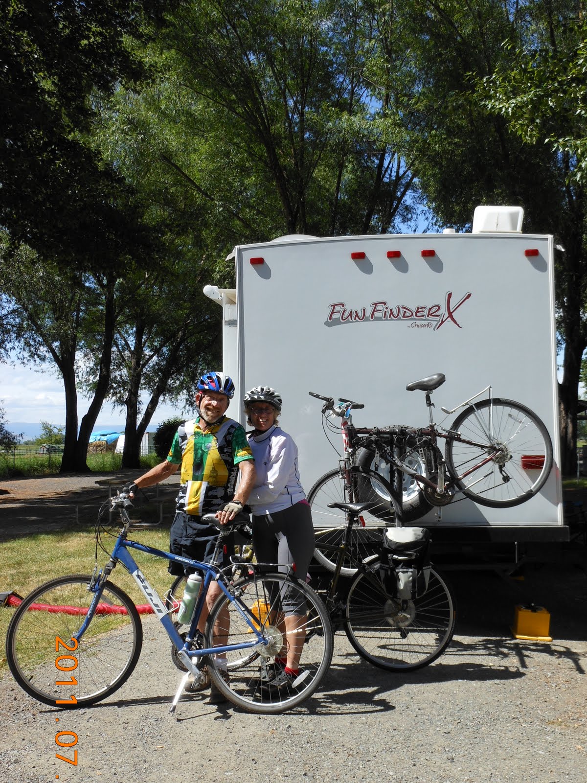
Ron and Ann, my knight and lady in shining armor

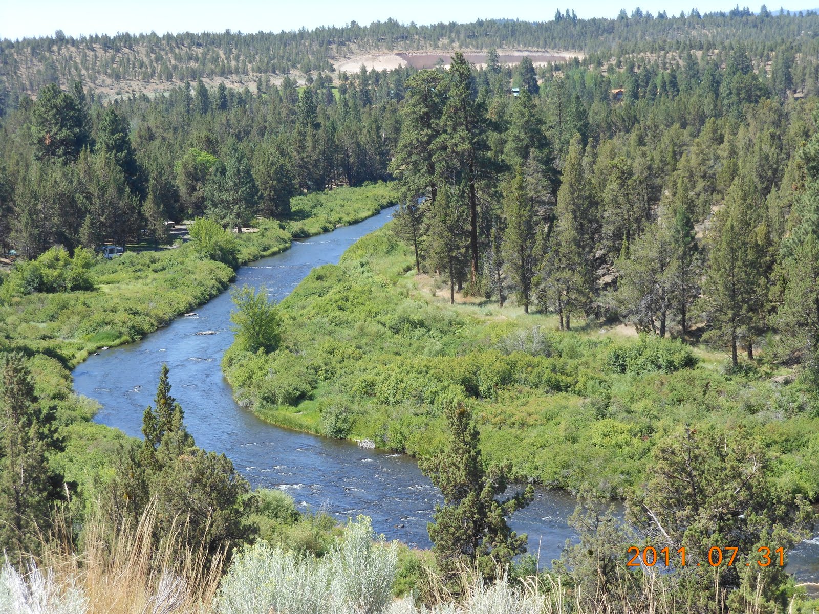
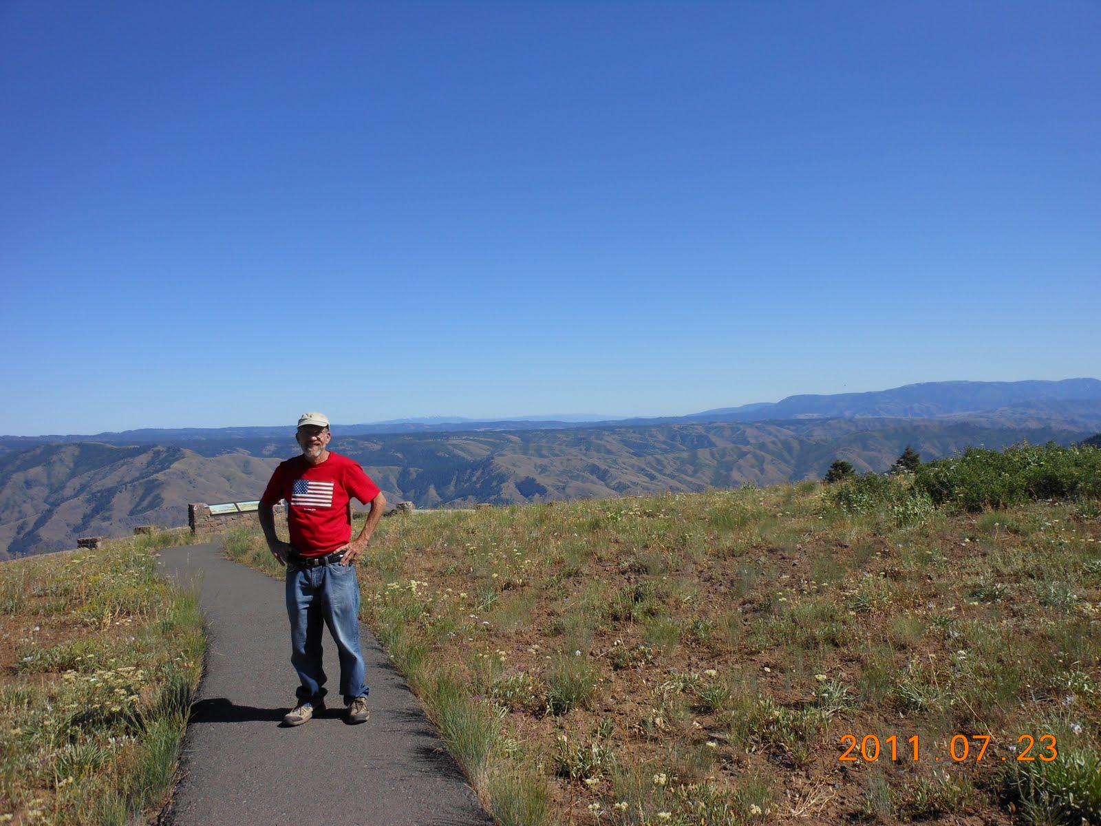
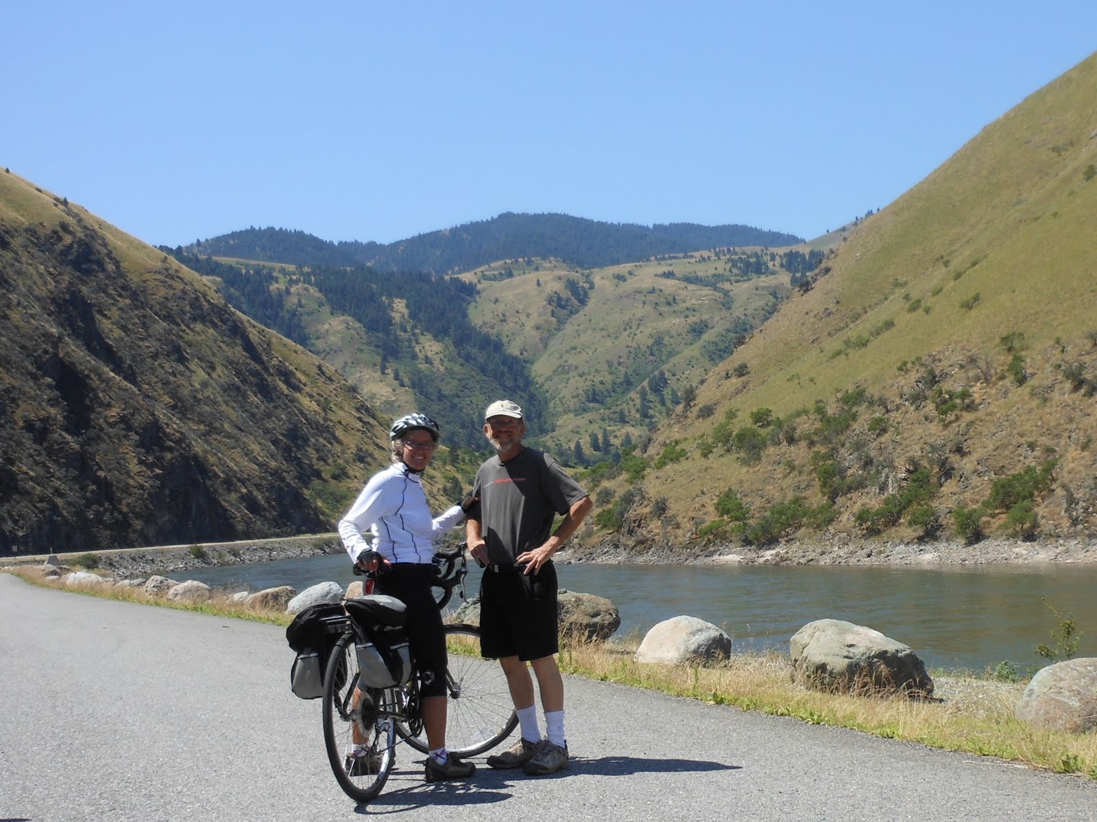
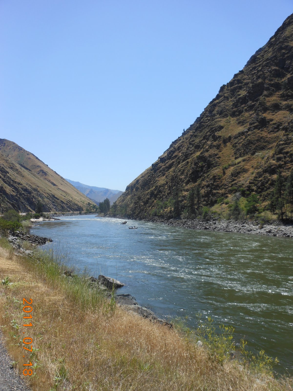
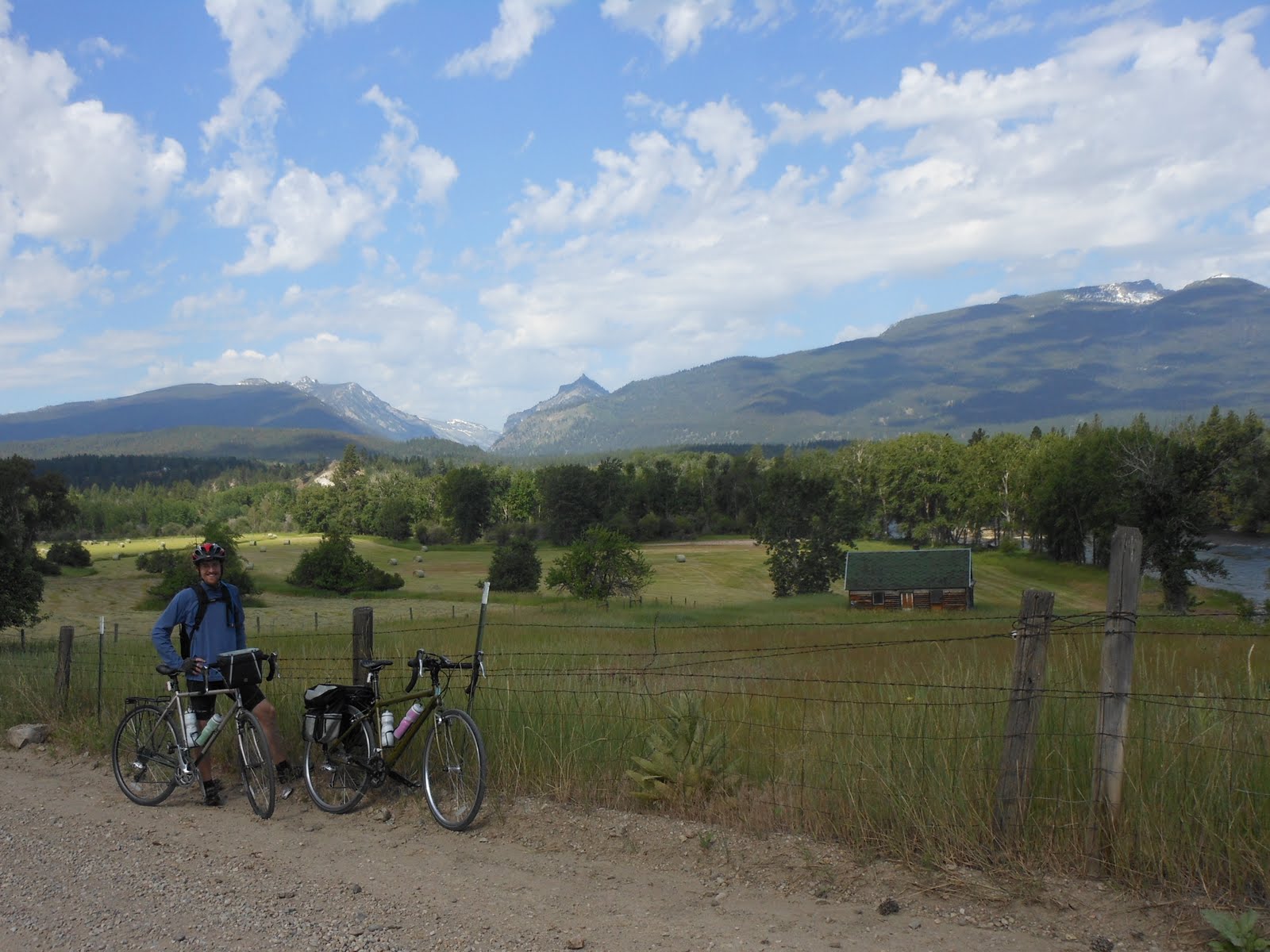
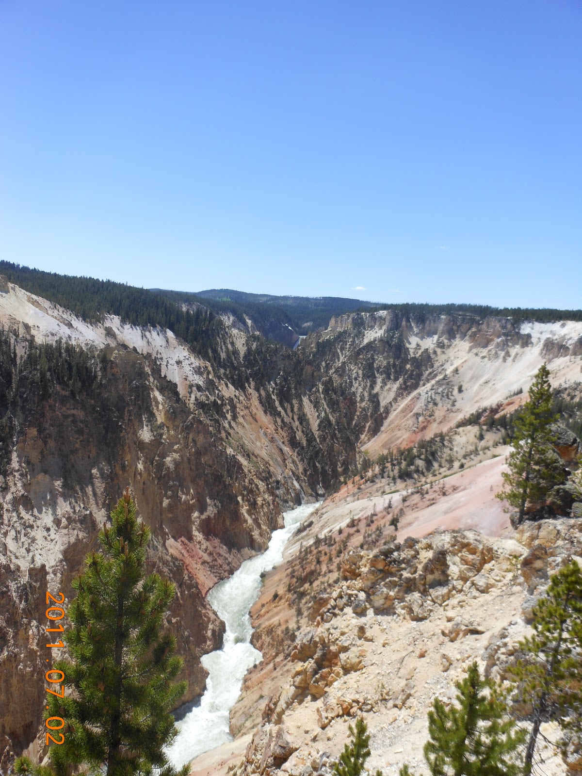
Right before the flat tire


Day 100: Tuesday, July 19, 2011

23 miles to about 12 miles North of New Meadows, Idaho
I had planned to bicycle to New Meadows, but US 95 became very narrow, windy and lost the shoulder.  At one point, I nearly fall off of my bike because of a truck passing so closely.  I decided it was too dangerous to bicycle, so I pulled off at a pull-out and waited for Bob.  He came by about an hour later.  As it turns out, the road opened up about 4 to 5 miles later, but I couldn’t tell from reading the road condition notes on the map.
On a different note, one of the campers at the RV camp had a pet lynx.  I have included a photo of it in the album.  It was a bit spooky looking at it, even with the leash on.


Roadside waterfall on US 95 between Riggins and New Meadows, Idaho

Day 99: Monday, July 18, 2011

49 miles into River Village RV, Riggins, Idaho
Wow, what a difference a couple of days rest makes.  I still had about 1000 feet to climb before getting to the top of the pass.  With the rest, and an early start, this climb was much easier.  Climbing at the end of the day is always more difficult for me due to fatigue and heat.  Once I got to the top, I had a nice long downhill to get into the RV park.  Fortunately, Bob and Vincent passed me on the route and I was able to fill up on water.  We had not planned that meeting because I was on a different route much of the way.  They must have left a bit later and that worked well for me as I think I would have run out of water otherwise.  The town I had planned to fill up in is closed on Mondays.  The Salmon River is beautiful and there is lots of recreational activity. There are sandy beaches, much like the ocean, along the banks.  Looks like great swimming.

My savior

Sandy beaches on the Salmon River

River rafters on the Salmon River


Days 97 and 98: Saturday and Sunday, July 16 and 17, 2011

We drove up to Clarkston, Washington so that we could visit the state.  The twin cities of Lewiston, Idaho and Clarkston, Washington overlook the Snake River and provide a gateway into Hells Canyon.  Since we will be bicycling along Hells Canyon, we took the opportunity to catch up on shopping and resting.  We were within walking distance of a Walmart, Costco, and Starbucks!

Day 97: Friday, July 15, 2011

50 miles to Bear Den RV Resort, Grangeville, Idaho
For some reason, the climb today was more difficult than usual.  I finally ate some sport jelly beans, drank some water, took some Tylenol and made it to the top.  I was really happy to see the camp today.  Maybe it was that delicious coconut cream pie that I ate at the Kooskia (pronounced Koos–key) CafĂ© that did me in!


Day 96: Thursday, July 14, 2011

78 miles into Three Rivers RV Camp, Lowell, Idaho
Now I know why the East-bound riders talk about crossing LoLo Pass.  They have an 80 mile climb to get to the top of the pass.  Ergo, I had virtually a 78-mile ride downhill today.  I didn’t even have to pedal for the first 5 miles.  Vincent was too tired to bicycle today which was too bad because the ride was truly beautiful.  I biked along the Lochsa  (pronounced Lock-saw) river all day.  I saw kayakers, rafters, and floaters on the river.  Unfortunately, I also saw a partially submerged van in the river.  I must say it was a very disturbing site.  I had heard at one of my rest stops that there was an accident up ahead that involved a truck and a car.  No one seemed to know the details.  I am certainly glad I did not bicycle past any earlier.   Bob and Vincent met me at 2 of the rest stops since there were no services for 66 miles.  It’s always good to see Bob during the ride.  Needless to say, I couldn’t have done this without his support.  He’s been great throughout.  


Lochsa River, Idaho

Day 95: Wednesday, July 13, 2011

38 miles to the top of Lolo Pass then back down to Lolo Hot Springs Resort and RV Camp
We bicycled to Lolo Hot Springs Resort where Bob had the RV set up already.  We had a snack, then took off to bicycle the 8-mile climb to the top of Lolo Pass.  The plan was to bicycle to the top so we wouldn’t have to do it tomorrow since we have to ride 80 miles to get to the next RV camp.  About 3 miles from the top, Vincent got a flat tire.  So I bicycled back down to the RV camp (way faster than bicycling up!) and Bob came up with the necessary supplies.  I stopped carrying the supplies when I was bicycling alone because no matter how many times I have tried, I just can’t change a bicycle tire.  I think I will have to be at the mercy of strangers if I get a flat and Bob isn’t around!!   After Vincent fixed the tire, we bicycled to the Idaho state line which is at the top of Lolo Pass.  


Day 94: Tuesday, July 12, 2011

The staff at the Adventure Cycling Association world headquarters was warm and welcoming.  Winona gave us a tour of the offices and described the history behind many of the numerous bicycles they have on display.  It was fun to look through the pictures of the bicyclists who have visited the office and pick out the people we have met. We bought a Tidewater Potomac Heritage Bicycle Route Map.  This route is a 378-mile loop that begins at Union Square in Washington, DC then runs along both sides of the Potomac River until it reaches the Chesapeake Bay.  A trip across the Chesapeake to Smith Island, then back to Point Lookout allows the loop to be completed.  Any one of the maps will make great day trips that I can enjoy with my friends once we get back home.  

Tom, Amanda and Beth greet us in the front office


Day 93: Monday, July 11, 2011

58 miles to Square Dance Center and Campground, Lolo, MT
We bicycled through the beautiful Bitterroot Valley today.  We took the Old Darby Alternate route which allowed us to ride along a dirt road ridge above the valley for several miles.  It was absolutely spectacular.  Vincent had to do some real convincing since I don’t like riding on gravel roads with the Cannondale, but I am glad he did.  We are taking tomorrow off to visit the Adventure Cycling Association world headquarters in Missoula and do some shopping.  There is a Costco and Walmart in town.  It will be great to meet the talented, dedicated staff that brings the bicycling trails to life with so much detail.


Day 92: Sunday, July 10, 2011

58 miles into Travellers Rest Cabins and RV Park, Darby, MT
The winds were relatively calm today and the climb through Chief Joseph Pass was much easier than coming through Badger and Big Hole Passes on Friday.  Plus, we had a 14 mile downhill after we reached the top of the pass.  I met Mark about a mile from the top.  I thought I had 3 miles to go, so it was great news when he told me there was only a mile left.  We stopped in Sula for lunch and there were 4 other bicyclists going West. They were just headed out, so we didn’t meet them.  I finally saw a yellow-headed blackbird.  Bob had seen them in Lander and was never able to get a photo.  I am still trying to get a photo of a red-winged blackbird, but they don’t sit still for long.


Belted Kingfisher

The consensus from the emails I have received is that the bird below is a Belted Kingfisher.

Day 91: Saturday, July 09, 2011

18 miles into Big Hole River RV Park, Wisdom, MT
No photos today.  We bicycled only 18 miles, due to the difficulty of yesterday's ride.  We would have had to bicycle over Chief Joseph Pass (7264 feet) if we rode to the next city with an RV park.  We decided to save that for tomorrow and rest today.

Day 90: Friday, July 8 , 2011

48 miles into Jackson Hot Springs Lodge, Jackson, Montana
It was a brutal, torturous, mentally demoralizing ride today.  These are all comments I heard from other bicyclists that came over Badger Pass and Big Hole Pass.  We are staying at the Jackson Hot Springs Lodge in celebration of our 40th anniversary (on July 10th) and we met several other bicyclists today.  They all had the same experience, whether coming from the east or the west because the winds were so severe.  We came over Badger pass (6755 feet) and Big Hole Pass (7400 feet).  On a calm day, the ride would have been fine, but the winds were so strong that I had to get off and walk for fear of being blown off.  When I finally got to the top of Big Hole Pass, Vincent said he had been waiting for 20 minutes.  I thought he would have been waiting an hour since I had lost sight of him.  Turns out he walked part of the way also.  We were particularly glad to get into the hot springs pool and soothe our aching muscles.  We met Louise and Kerstin, from Australia, who are touring the US on bicycle.  They are headed to Yellowstone, then will go north to the Badlands. Check out their website at bikeisgood.blogspot.com to see more on their adventures.  Bob met Jesse and Matt, who are bicycling a route similar to ours and plan to finish in San Diego.  Their site is Twocyclepaths.wordpress.com.


Resting before going over Big Hole Pass


Day 89: Thursday, July 7, 2011

50 miles into the Dillon, Montana KOA

We stopped at the Sheridan Bakery and CafĂ© for mid-morning snack and what a treat it was.  The place smelled divine as they were cooling dozens of loaves of fresh-baked bread.  Fortunately we were able to text Bob and he picked up a couple of dozen rolls for us to put in the freezer.  Have I already mentioned how hard it is to find good bread out here?  At many grocery stores, they only carry Wonder Bread which I don’t consider worth eating.  So, when I find good bread, I stock up!
We are bicycling along the Lewis and Clark Trail and I have included some of the unique signs in the album.


Day 88: Wednesday, July 6, 2011

25 miles into the Alder-Virginia City, Montana KOA
We climbed about 2000 feet today, then had an exhilerating downhill ride to Virginia City, where we ate some great pizza at Bob’s Place (we saved a piece for Bob).  Then we coasted down to Nevada City, where Vincent had a good cup of espresso at a restored saloon that only serves coffee and espresso.  Virginia City and Nevada City are well-restored mining towns that give a good view of life in the old west.  


Valley we climbed out of today

Day 87: Tuesday, July 5, 2011

75 miles to Ennis RV Village, Ennis, Montana
We biked along the Madison River today and passed through Earthquake Area of the Gallatin National Forest.  On August 17, 1959, an earthquake, registering 7.3 to 7.5 on the Richter scale, hit Southern Montana.  The effects were devastating and can still be seen today.  Earthquake Lake was created and stands to remind us again of the force of Mother Nature.  The clouds here are phenomenal and I have included a few photos of them in the album for your enjoyment.


1959 Earthquake Slide

Earthquake Lake

Day 86: Monday, July 4, 2011

We had a good old-fashioned July 4th in West Yellowstone, Montana.  We went to the parade, had barbecued hamburgers and hot dogs that benefited the local fire department and saw a few fireworks.  We didn’t see the entire show because it didn’t start until 10:15.  Just couldn’t stay up that late!  We had a great Mexican dinner from La Palma, a mobile dining restaurant in a converted school bus.  The locals said they wish they would open a brick and mortar restaurant because they have to eat really fast in the winter.  One gentleman said the ice can be as thick as 3 inches inside the bus.  We knew it had to be good if the locals were willing to deal with the weather to eat there.  Sorry Zach, we forgot to take a picture, but it was as good as the food at Tacos Break in Puerto Vallarta.


Day 85: Sunday, July 3, 2011

52 miles to Grizzly RV Campground, West Yellowstone, Montana
More beautiful views and spectacular bicycling.

Artist Paint Pots

Days 83 and 84: Friday and Saturday, July 1 and 2, 2011

We explored, hiked, savored, and enjoyed Yellowstone National Park.  If you have never visited, make it a point to do so.  If you are a bicyclist and haven’t bicycled the Park, it is an amazing place to ride through.

Black Dragon's Cauldron
Yellowstone River
Yellowstone Lake
Grand Canyon of Yellowstone
Lower Falls at the Grand Canyon of Yellowstone