Day 21: Saturday, April 30, 2011

37 miles to campsite at Breaks Interstate Park
We had a beautiful day for bicycling.  We had planned 7 hours for the trip since the route looked so steep and curvy when we drove up with Bob the other night.  Surprisingly, we finished it in 5 hours which meant we had more time for relaxing.   We are looking forward to getting into Kentucky, although the ACA map shows that it will be even more climbing than VA.   Bring it on, we are ready!!
One of several stands of poppies we passed.


Day 20: Friday, April 29, 2011

We decided to spend today at Breaks Interstate Park.  It is just too beautiful to pass up.  The park is sponsored by both Virginia and Kentucky.  We hiked the trails and went to several of the overlooks to view the 5 mile gorge that plunges to 1650 feet.  This area is called the “Grand Canyon of the South East” for good reason.  We also saw the coal train as it traveled through the tunnels loaded with tons of coal.


With all the rest days, I have had some time to work on the counted cross stitch piece.  Here is the progress to date.

Day 19: Thursday, April 28, 2011

49 miles to Honaker, VA (including a 9 mile detour to bicycle around tornado damage)
Our stay in Calleb’s Cove last night was very fortunate since we were protected from the brunt of the devastating storms that came through the area.  Glade Spring, about 5-10 miles from where we stayed suffered significant damage and 4 people were killed.   The damage was incredible and we passed one ridge where all the trees had been stripped from the area.  Fortunately, there was no damage to any of the houses we passed.  We had to reroute because one road was closed with downed trees and power lines.    We bicycled over Clinch Mountain and once we reached the other side, the weather was beautiful and the lay of the land quite different.  I clocked 41.7 mph going down the mountain today.

Bob had a better day although he had to spend nearly the entire day driving.  Route 81 was backed up because of the storm and his ride to pick us up was very long, even though we were only 38 miles from Breaks Interstate Park.  Said 38 miles takes about 1 ½ hours to drive due to the steepness and curvature of the road; a great preview of our next ride.  We will be biking into the campground and Bob won’t have to come pick us up or move the trailer which will make life much easier for him.  We move into Kentucky next and have to find some decent sites to camp.

Tornado damage in Washington County, VA

Day 18: Wednesday, April 27, 2011


We took a day off today to reassess our future camping spots and give Bob a chance to de-stress from the last couple of days.  We spent some time in Damascus which has built significant tourism around the Appalachian Trail (AT), The Virginia Creeper Trail and the creeks that run through the area.  The AT culture is very evident in the area as a significant number of hikers come off the trail here to stock up and meet with their friends and families.  We heard lots of stories about “trail magic” which ranged from being asked to spend the day resting with a member of the community to offers of a place to sleep for the night.  The town celebrates Trail Days the weekend after Mother’s Day and based on photos we saw, thousands participate.  As many of you know, Vincent has talked about walking the AT for years and he jokingly said he was ready to stop bicycling and start hiking!  I am sure the experience of seeing the hikers will inspire him to plan a trip in the future.

Day 17: Tuesday, April 26, 2011

32 miles to Damascus, VA
Today was the best ride of the trip to date and to think we would have missed it if it had rained.  When Bob picked us up in Sugar Grove last night, we traveled the same road as the bicycle trail.  The road was very steep and very narrow.  Needless to say, I wasn’t thrilled about riding on it and certainly didn’t want to tackle it in the rain.  We waited in the morning to see how the weather would be and it turned sunny and a bit breezy.  Vincent convinced me it was ok to go.  We had to climb a lot, but were well rewarded with 2 different stretches of at least 3-mile downhill sections.  We passed thousands of wild rhododendrons, some at least 20 feet tall.  The drive will be spectacular in a month or so when they are in bloom.  The area we bicycled through reminded me a bit of Yellowstone with a sparkling stream and trout fisherman everywhere.

While our ride was spectacular, Bob’s day was the worst he has had to date.  Again the GPS sent him up a gravel mountain road, this time for 5 miles.  In addition, the brake system wasn’t adjusted properly and he was fishtailing significantly.  He did manage to get into the camp, but he surely doesn’t want to repeat the experience.  We are going to revisit all the sites we have picked to date and make sure the roads leading to the camp are well paved and well-marked.  Given that we are going to be in the mountains until we get into Kansas, there will be some challenges ahead.  He says he can drive the mountain roads, but they can’t be gravel.

One of the many creek waterfalls along the road in Mt. Rogers National Recreational Area


Day 16: Monday, April 25, 2011

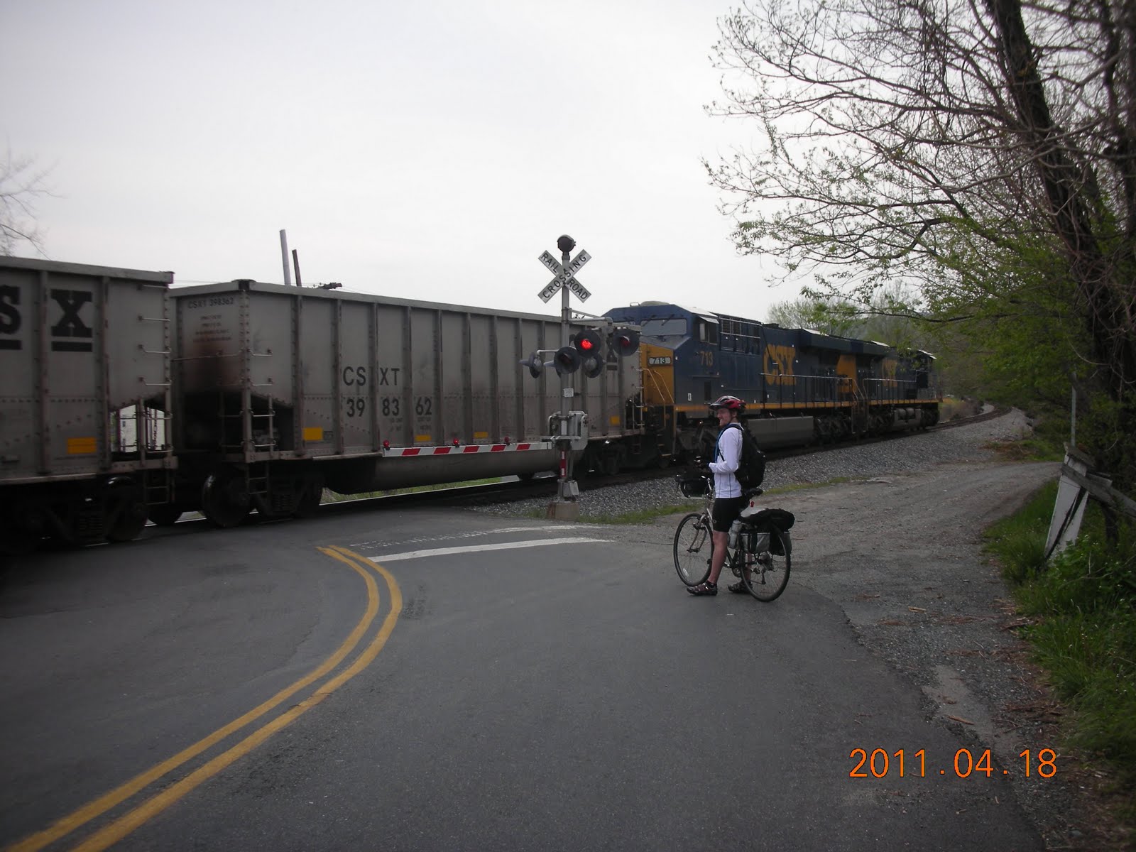
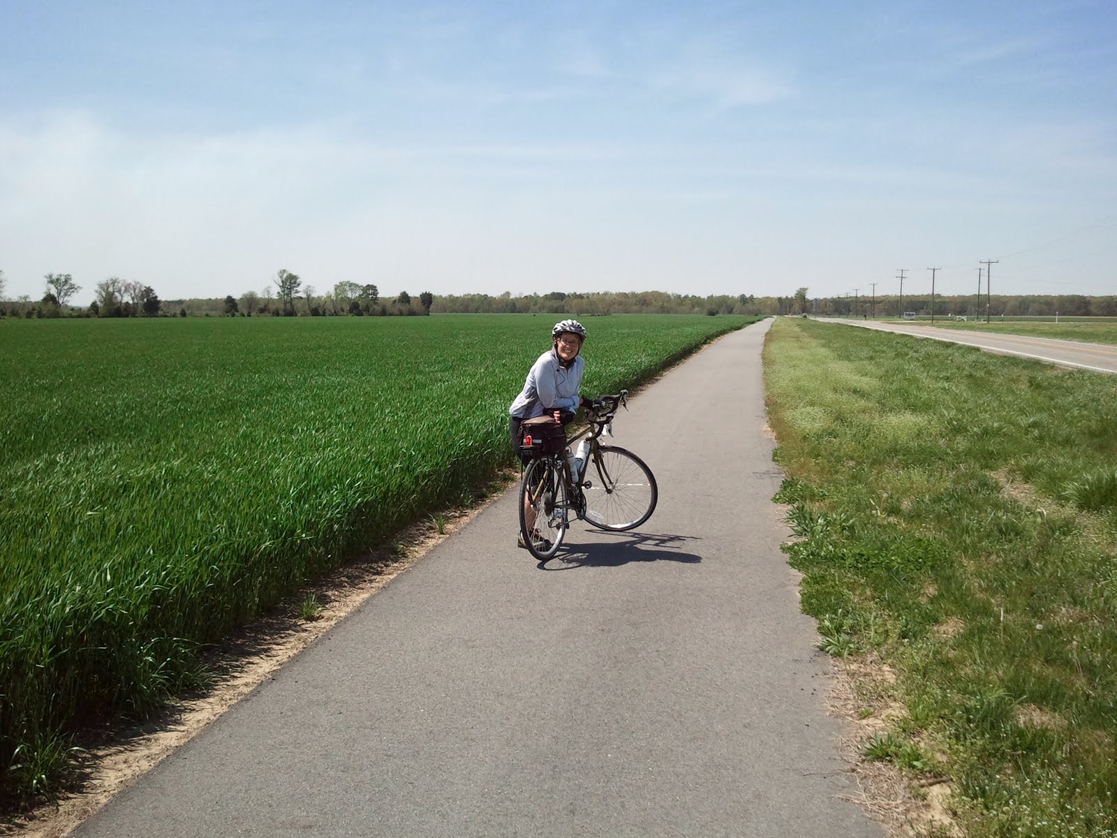
44 miles to Sugar Grove, VA
Today was “back to nature” day.  We saw a brand new foal as it tried to get to its feet for the first time.  The mare was just standing there while the farmer was helping the little one get up.  We also saw dozens of newborn calves at several different farms.  No wonder the song says “get along little doggies” because they look just like little dogs.  We came around a corner and 3 of them were in the front yard of an abandoned house. When they saw us they took off looking for their mamas.  
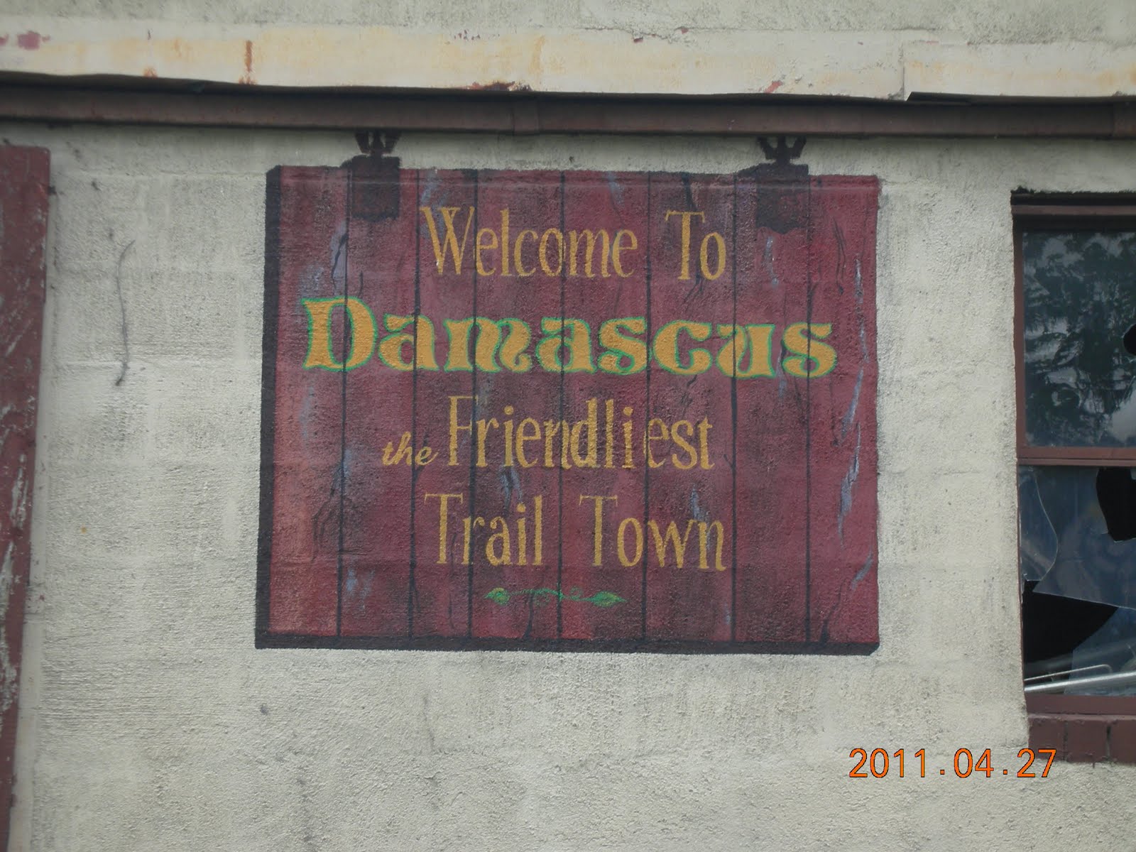
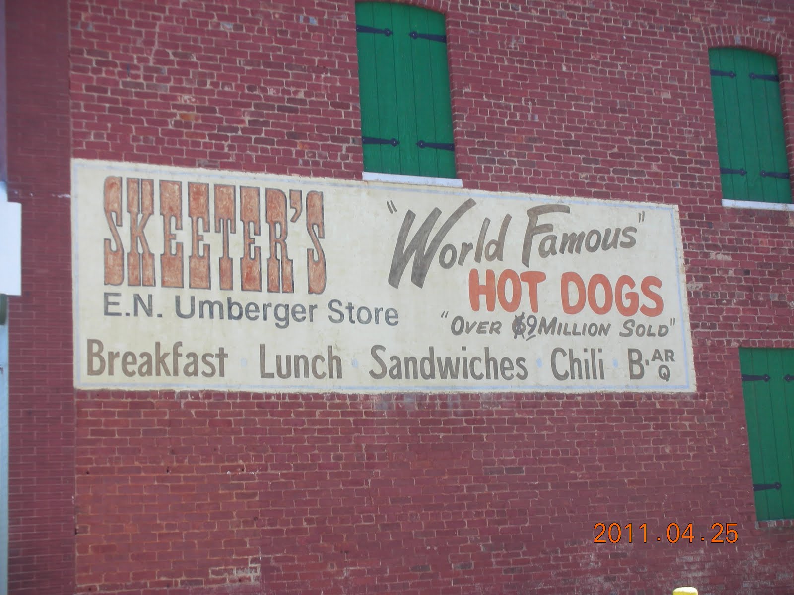
While not back to nature exactly, we did eat a “world famous” hot dog in Wytheville, VA.  We were looking for coffee for Vincent and the woman we asked directed us to Skeeters.  We didn’t end up getting coffee, and while I don’t eat hot dogs much, this one was pretty darn good. We got the works, including chili, coleslaw and onions for only $1.95.


We have been cycling very close to the Appalachian Trail and have seen several hikers coming down off the mountain for supplies.  We met a man today who has previously hiked the trail 6 times and now considers himself an angel of the trail working to help hikers with places to stay, running errands and making sure they have what they need.

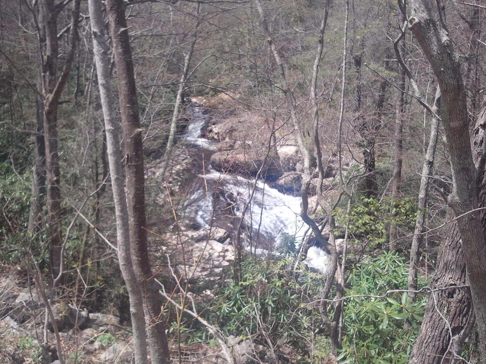
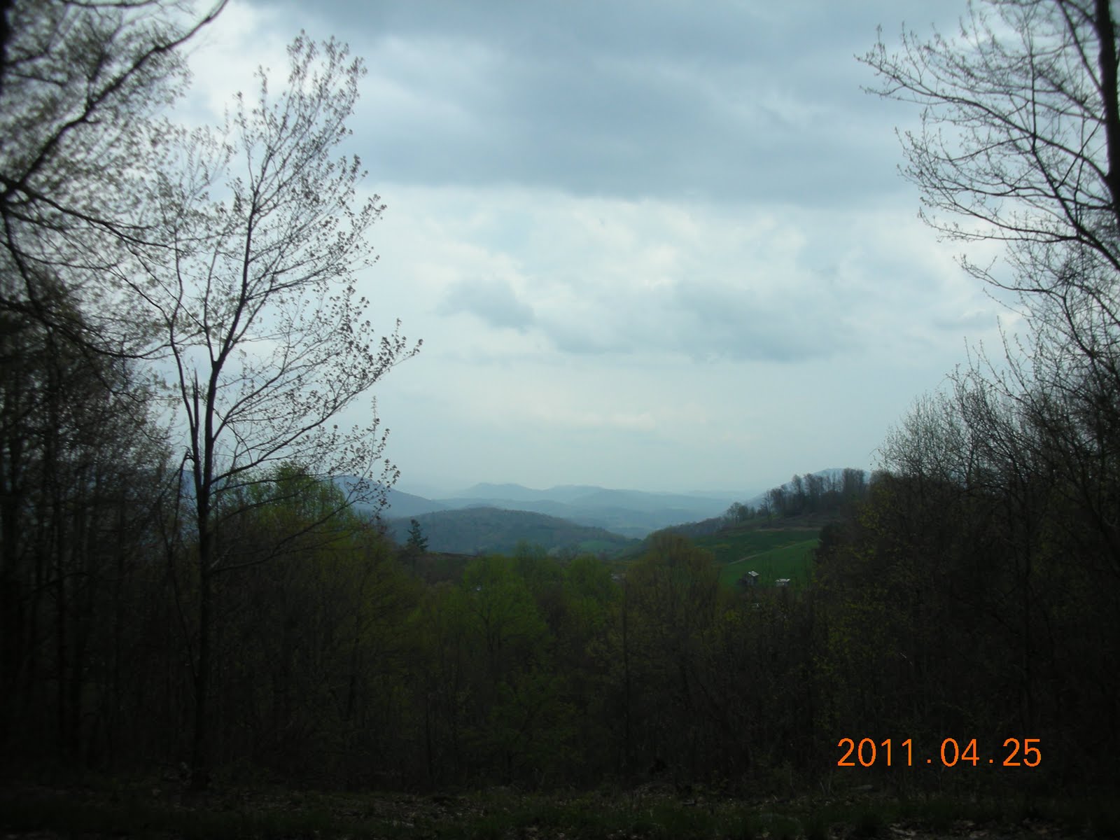
We are staying tonight at the Rocky Hollow Horse Camp which sits at 3574 feet and has a spectacular view.  
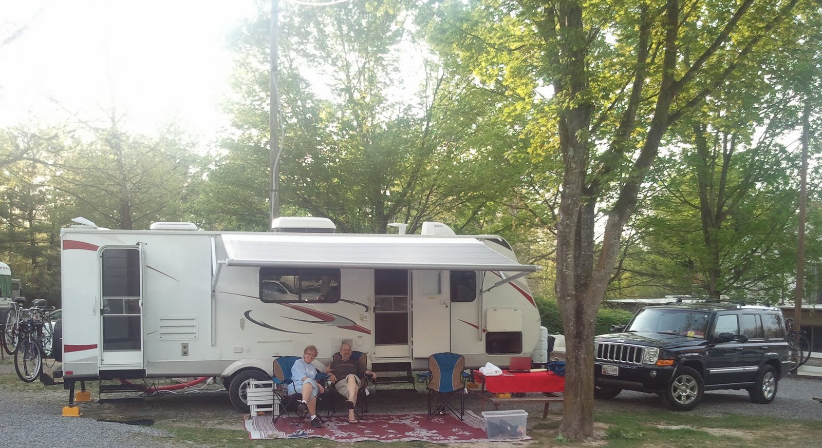
Bob had a bit of a stressful ride up the mountain as the GPS took him up a 2.7 mile gravel mountain road.  Once he got here, Bill, the proprietor, told him he ought to throw the thing away since there is a much easier way up the mountain.  As Bill said, it’s a bit early in the season and we are the only campers up here so it is peaceful and quiet.   Bill came to the mountain in 2002 after 2 other careers.  Since then he has spent his time carving this beautiful site, primarily for horse riders, out of the wilderness. 

View from our site at the Rocky Hollow Horse Camp


Day 15: Sunday, April 24, 2011

38 miles to Draper, VA
We slept like logs at Claytor Lake State Park, then woke up to a beautiful Easter Sunday morning.  After getting a fairly early start since we knew it would be our first day over 80 degrees to ride, the wind and heat conspired against us. It was a chore to bicycle down the hills.  We ended up having Bob pick us up about 10 miles shy of our original destination.  The good thing though is we got into camp a lot earlier and had some time to relax. This was our first time of really just enjoying the weather and experiencing this RV camping phenomenon.

Pot cyclist, just outside Catawba, VA

Day 14: Saturday, April 23, 2011

66 miles to Christiansburg, VA
Today we passed two milestones.  There are 12 maps for the TransAmerica Trial.  Each map has about 10 mini maps on it with varying mileage. Today we finished the first full map and we will start the next map tomorrow.  Because we are going East to West, our maps started with the highest numbers, so we start map 11 next time we ride.  The second milestone is that we met our first self-contained bicyclist riding the trail.  He is also riding East to West and is carrying 75 pounds of supplies.  He is taking his time and hopefully, we will see him again.  Next time we cross paths, I will see if we can get a picture to post. 

It was a rough climb into Christiansburg, I thought I was going to puke my guts out.  But I made it, without walking!  I’ve never been so happy to see the golden arches.  Sweet tea for all!

Day 13: Friday, April 22, 2011

Here we are at the KOA in Natural Bridge, VA and we have never been here before.  So we find ourselves taking another break from bicycling.  We visited the caverns, the Natural Bridge, the Wax Museum and factory, and the Toy Museum all for one low price.  The wax museum was one of the best I have ever been to and the factory has provided figures to many other organizations including Disney.  We had wanted see the VMI Cadet parade, but Easter break began today, so no marching.   

Don't mind the tree. We're cyclists not photographers!

Day 12: Thursday, April 21, 2011

49 miles to Buchannan, VA
The scent of lilac in the air, dogwoods, redbuds and azaleas in bloom made this ride pure joy.  We biked along the South River and Broad Creek much of the way. We passed a very nice waterfall, but since we were going uphill, I didn’t  take a picture!  We stopped at Niko’s Grill in Lexington, VA  for lunch and it was a treat to eat something other than peanut butter and marshmallow.

Broad Creek ran along much of our route.

Day 11: Wednesday, April 20, 2011

31 miles to Vesuvius, VA
We decided to take a short ride today since we had to bicycle over the Blue Ridge Mountains.  We rode the Blue Ridge Parkway which was great.  It was beautiful and there was very little traffic.  We stopped at the Humpack Rocks Visitor Center and a ranger told us there was a guy who came through last year traveling the TransAmerica Trail on a Unicycle.  He didn’t know if he had made it, but he said he had lots of energy when he left their spot.  We climbed and climbed and climbed and climbed, but I preferred that to coming down the other side of the mountain.  Thank goodness I had read an article about coming down mountains and knew that it was critical to stop and check the tire rims to be sure the tires don’t melt.  We stopped about 3 times and my rims were very hot to the touch.  Vincent’s weren’t because of course he didn’t ride the brakes like I did.  Hopefully, I’ll get better at that with time.


It does seem as though every day brings a new issue with the travel trailer. Today, we noticed the refrigerator wasn’t cold.  Turns out we had parked at a severe angle (didn’t think it was a big problem since we weren’t staying in it) and the coolant doesn’t work under those conditions.  Once again, we relied on our good friend, Don, to help us out.  Despite the logistical problems with the trailer, it is like coming home when we get in from a long ride.  Much better than sleeping in a tent or even going to a hotel room every night.  

Day 10: Tuesday, April 19, 2011

Today, we are visiting my best friend from high school Tammy and her husband Tom in Staunton, VA.  They are very gracious hosts and are making sure we have plenty of rest, food and relaxation.  The first thing I did last night was take a nice, hot soaking tub bath and it felt wonderful.  We have taken over their laundry area and bicycle clothing hangs from all their doorways.  It is so great to be able to visit friends as I take this journey and share my dream with them.


Day 9: Monday, April 18, 2011

68.5 miles to Afton, VA
After passing Ash-Lawn Highland, the home of President James Monroe, and Monticello, the home of Jefferson, riding through Charlottesville, we started the climb around the base of the Blue Ridge Mountains.  The climbing was not steep, but very long.  Good training for the days to come.

Riding past the home of Thomas Jefferson.
Stopped by a train for the first time.

Day 8: Sunday, April 17, 2011

75.5 miles to Tabscott, VA
We rode through Ashland today, a quaint little town with the railroad running through it and a terrific coffee house that features live music and a gathering place for bicyclists.   We biked past Patrick Henry’s home and over Lake Anna.  We finally noticed that the trail is marked with “76” route signs which is pretty awesome since the trail was first ridden to commemorate the Bicentennial in 1976.  I hope they are posted the entire route as it sure makes it easier to find our way, although we took one wrong turn today.  Fortunately, we only strayed about 2 miles.


Day 7: Saturday, April 16, 2011

Another rest day dictated by a serious storm that began when we woke up this morning.  We decided it would be best to rest this out and double up on mileage the next couple of days.  We are heading to see my high school friend Tammy in Staunton, Virginia. One nice thing about another rest day is that I am able to work on the counted cross stitch I brought for this trip. I had just finished a set of 4 butterflies before we left, so I can now start the “Smoke Ceremony” piece I bought several months ago.


Golf ball size hail. Good thing we didn't ride.


Day 6: Friday, April 15, 2011

72 miles to Mechanicsville, VA
The day was spectacular and the ride incredible. As often as I have bicycled around Williamsburg, I never knew about the Capital Trail.  It picks up right at Jamestown and goes to the Chickahominy River, then restarts at Sherwood Forest Plantation and goes through verdant farm land.  We passed several other plantations and rode through the Richmond National Battlefield Park.  We stopped at the Old Dominion Outdoors store which was still closed for the season.  We used their picnic table and surprisingly the restrooms were unlocked and very clean.  Nice stop for us.

The Capital Trail runs through scenic farmland
Taking a rest at Old Dominion Outdoors
Road closed in Richmond Battlefield
We bicycled down it anyway and just had to get over a pile of boulders

Day 5: Thursday, April 14, 2011


We decided to stay another day at Chippokes Plantation. Mostly for logistical purposes as we still needed to work on more details for the trip and my friend Tammy, who we are visiting, had last minute business out of town for the weekend. We found a handlebar bicycle bag for Vincent.  It works out perfectly since it has a special map holder on top that the ACA maps fit into nicely.  After we picked up the bicycle, we took a walk around the plantation.  It was founded in 1619 and has been continuously farmed since then, making it one of the oldest farms in the country.

Day 4: Wednesday, April 13, 2011

A well deserved day of rest.  We decided to take today off to catch up on things, blog and work on the next few days of the route.

Day 3: Tuesday, April 12, 2011


We drove over the Chesapeake Bay Bridge Tunnel (no bicycling allowed) and up to the Norfolk Naval Base.  I had never been to the base and decided to check it out.  Wow, it is huge.  The NEX is massive and has tons of departments.  We took the opportunity to purchase a few things we needed, then headed up to Portsmouth to restart our ride.  Carla and Luisa joined us for just a short time since we had to travel on a pretty busy road out of the city. We were sad to see them leave.  It was so great to have all of our friends for moral support and companionship
Once we got out of the city, the traffic thinned out and the ride was a little easier.  We had the wind behind us today and we made much better time.  We hit rain off and on, but it wasn’t too heavy.  We were rewarded at the end of the ride with a beautiful set of double rainbows.  All in all, a great ending for the day.


Bob had the trailer all set up and it was like coming home for the night.  Once we get comfortable with everything, it will be a lot easier and more routine.

Day 2: Monday, April 11, 2011

64 miles to Kiptopeke State Park, Cape Charles, VA

We had a little drama in the morning. As we were getting ready to leave, we decided to check the weather.  When Vincent turned on the radio, it started going on and off, then all the electrical components went haywire.  We called Don, our personal guide to anything and everything about the travel trailer, and although he had lots of theories about what might be going on, he couldn’t say for sure because we didn't give him all the information.  We finally decided to check with the help at the campground and he discovered that one of the circuits had been tripped and the battery didn’t charge so we were running out of power.  Once he got everything reconnected, Bob had to wait an hour so he could pull the slide in. John stayed with Bob to provide moral support.
Vincent, Judy, Carla and I set out for the start of the second day.  Luisa went ahead in her car to scope out a place for lunch.  Turns out Google does a pretty good job of mapping out the bicycle route with lots of back roads that are very picturesque.  We had a few problems with unmarked roads.  Thank goodness for Vincent’s Smart Phone since he is able to pull up the maps and see where we are.  That will certainly come in handy and I hope we can get data in most places.  We hit really heavy head winds this morning and the first 20 miles felt like 50. 

We stopped for lunch and Bob was able to join us this day since he had the trailer all set up.  After lunch, Vincent and I took off on our own for the next 44 miles.  I have to say it was some of the hardest riding I have done in some time.  The winds just never let up and it took us about 6 hours to get to camp.  The crew waiting for us was a bit worried, but we knew we were ok and we just had to DIG DEEP! (This is what I kept telling Vincent when he wanted to give up!)  We rode nearly the entire route to the camp down a beautiful, scenic, little traveled Seaside Road.  We only saw one bicyclist who happened to be flying by in the opposite direction since he had the wind at his back. 
We got a standing ovation when we finally straggled into camp, tired, hungry and glad to be done for the day.  Judy and John wished us farewell and good luck for the rest of trip. Bob made a gourmet meal of feta, spinach turkey burgers and we enjoyed a sunset dinner with Carla and Luisa. 
The park was truly beautiful with lots of wilderness trails and boardwalks through the woods to the shore.  

Day 1: Sunday, April 10, 2011

60 miles from Ocean City, MD to Tall Pines Harbor Campground in Sanford ,VA

Dipped wheels, a bit sandy but still tasty.
John, Judy, Louisa, Cathie, Carla, Donna and Bob.  Friends since Pharmacy School.
We dipped our back wheels into the Atlantic Ocean and started our journey to the West Coast.  Judy and Carla joined us, as we biked down the Eastern Shore through farm lands, passing lots of chicken houses. 
We stopped in Snow Hill, Maryland for lunch.  What a delightful little town.  Since we were there on Sunday, many of the shops were closed but we had a fabulous meal at The Palette, great gourmet food in a beautiful setting.  We visited the Julia A. Purnell Museum which commemorates the life and times of Julia Purnell, a seamstress who created a large body of embroidered works, many after she became wheel-chair bound at the age of 85.  The docent in the museum was delightful.  A great stop on our ride.

Margi, one of our Pharmacy School classmates couldn't join us so we wore the Alaska biking shirts that she sent us.
Luisa joined us on the bicycle ride in Snow Hill and Carla drove down to the campsite.  She and John then biked up from the campsite and met us about 10 miles out, so the whole group of us was able to bike into the campgrounds just before sunset.
Bob made it to the campground and got everything set, his first solo outing with the trailer.   We were able to watch the sunset, then enjoy a great meal of leftovers from the party.  Bob was happy he didn’t have to cook!


Day 0: Saturday, April 9, 2011

We had a great celebration with several friends and family members in Ocean City, MD:  Fantastic food, great conversation and lots of love and wishes for a great trip from everyone.    Special thanks to my very good friend, Mary, who organized the event.